四川雅安上空航空遥感图像(高清组图)(/6)

2013-04-22 09:38 0人参与 0条评论

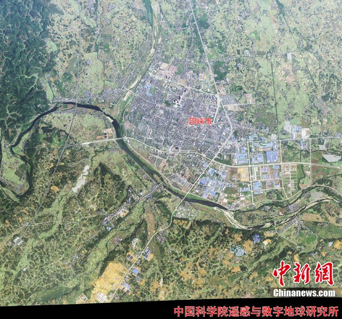
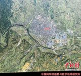
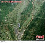
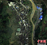
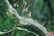
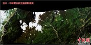
4月21日,中国科学院遥感与数字地球研究所发布芦山县震后航空影像图。该所利用其遥感飞机4月20日获取第一批高分辨率航空遥感影像数据制作出灾区遥感图片,旨在为抗震救灾提供影像资料参考。中科院遥感地球所 供图

关键词: 遥感

分享到
{ "creativeid": "295633", "productid":"{#productId#}", "tagoffixture": "1", "orderid":"{#orderId#}", "note":"{#note#}", "creatives": [ { "dimension": { "area": [], "channel": [] }, "code": "[an error occurred while processing the directive]" } ] },